Seabird to Guilderton.

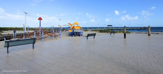
Panorama wiev.
Seabird to Guilderton.
Distance from Perth: 100km north of Perth, along Wanneroo rd.
Nearest
fuel: Guilderton 19km via Wanneroo rd or 10km by the beach track.
Size: Track length 10km
Time to allow: Day trip or even just a 3-4 hour visit.
The town is a small fishing locality just north of Guilderton and Moore River.
The track along the coast to Guilderton is an easy track to explore.
It's starts from the southern edge of Seabird and ends at the lighthouse just north of Guilderton.

Guilderton Light house.
There are some great views and photographic scenery to enjoy along the track.
A few tracks peeling off the main track closer to Guilderton will take you to a few great beach spots, this area is not well known so you will normally have the place to yourself.
It’s not advised to
drive along the beach as its quite narrow in places, also you can't actually
drive the entire way along the beach as there is a lime stone cliff half way. If
you choose to drive along parts of the beach know the tides.
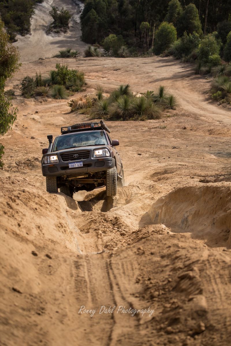
There is a steep lime stone decent close to the start of the track (at the
northern end), that is a small challenge, if you're not willing to take it on
there is a chicken track around it.

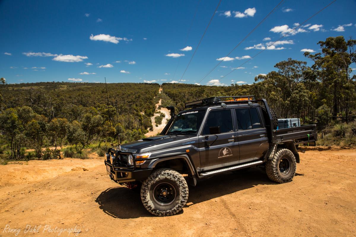
The lanscape.
Things to do.
- Explore the scenery along the coast
- Spend the day at the beach
- Fishing
- Photography
Track conditions and difficulty.

Lime stone hill.
Easy (low range gears, high clearance for the lime
stone hill)
The tracks are mainly soft sand with a few areas of lime stone rock, 14-20 PSI
is recommended for this area.
The tracks are fairly easy with the right tyre pressures, there is one lime
stone hill decent that could prove challenging to some, 1st gear low range
should do the job on this particular hill.
Having a sand flag erected on your
vehicle to warn others of your location would be a good idea, as there are some
sand dunes you will need to drive over towards the southern parts of the track
(closer to Guilderton).
What to bring.
Air compressor, Beach tent or awning, sunscreen, bush hat, plenty of water, rated recovery gear (shovel is a must as the sand can be very, very soft at times, snatch strap) & fishing rod.
Best time to go.
All year round.
GPS way points:
|
For information about How to enter the GPS Way-points into Google Earth see this video. |
For information about How to enter the GPS Way-points into Google Earth
see this video.
Start of Seabird to Guilderton track:
|
Latitude: |
Longitude: |
Good spot to Air down/deflate:
|
Latitude: |
Longitude: 115°26'39.46"E |
Steep lime stone decent:
|
Latitude: |
Longitude: |
Light house:
|
Latitude: |
Longitude: |
Leave Seabird to Guilderton And Go To Home Page.
You might like these
4x4 off road tracks 0 to 250 km from Perth
On this page we cover 4x4 off road tracks within a 250 km radius from Perth...
4 Wheeling Around Jurien Bay.
Jurien Bay 4x4 tracks info and general information about the area...
Mundaring power line track
At Mundaring you can enjoy an action packed day 4wheel driving
Recent Articles
-
Goodyear wrangler MTR
Jun 28, 24 10:27 PM
I have these on my defender 90 and my Dmax Ute. I get around 100,000 km out of them. I tried AT for one change and went back to the MTs. They are gol -
4x4 off road tracks 0 to 250 km from Perth
Nov 21, 23 07:40 PM
 On this page we cover 4x4 off road tracks within a 250 km radius from Perth...
 -
4 Wheeling Around Jurien Bay.
Nov 21, 23 07:35 PM
 Jurien Bay 4x4 tracks info and general information about the area...

- Home
- 0-250 From Perth
- Seabird


Privacy Policy | Disclaimer | Contact Us
By Brian Dahl, Copyright© 2012- All Rights Reserved