Wedge Island to Grey.
Wedge Island to Grey:
Distance from Perth: 165kms (2 and a half hours drive).
Nearest fuel: (North) Cervantes 44km & (South) Lancelin 50km.
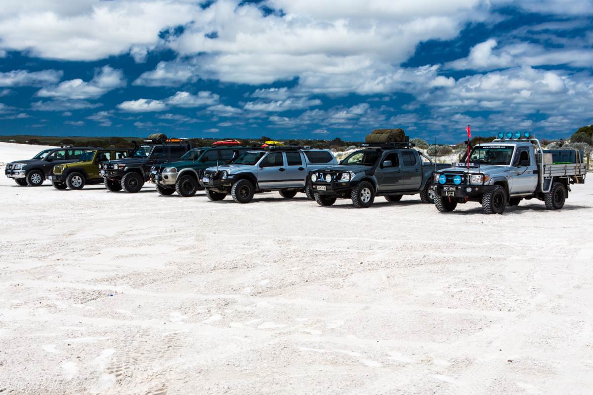
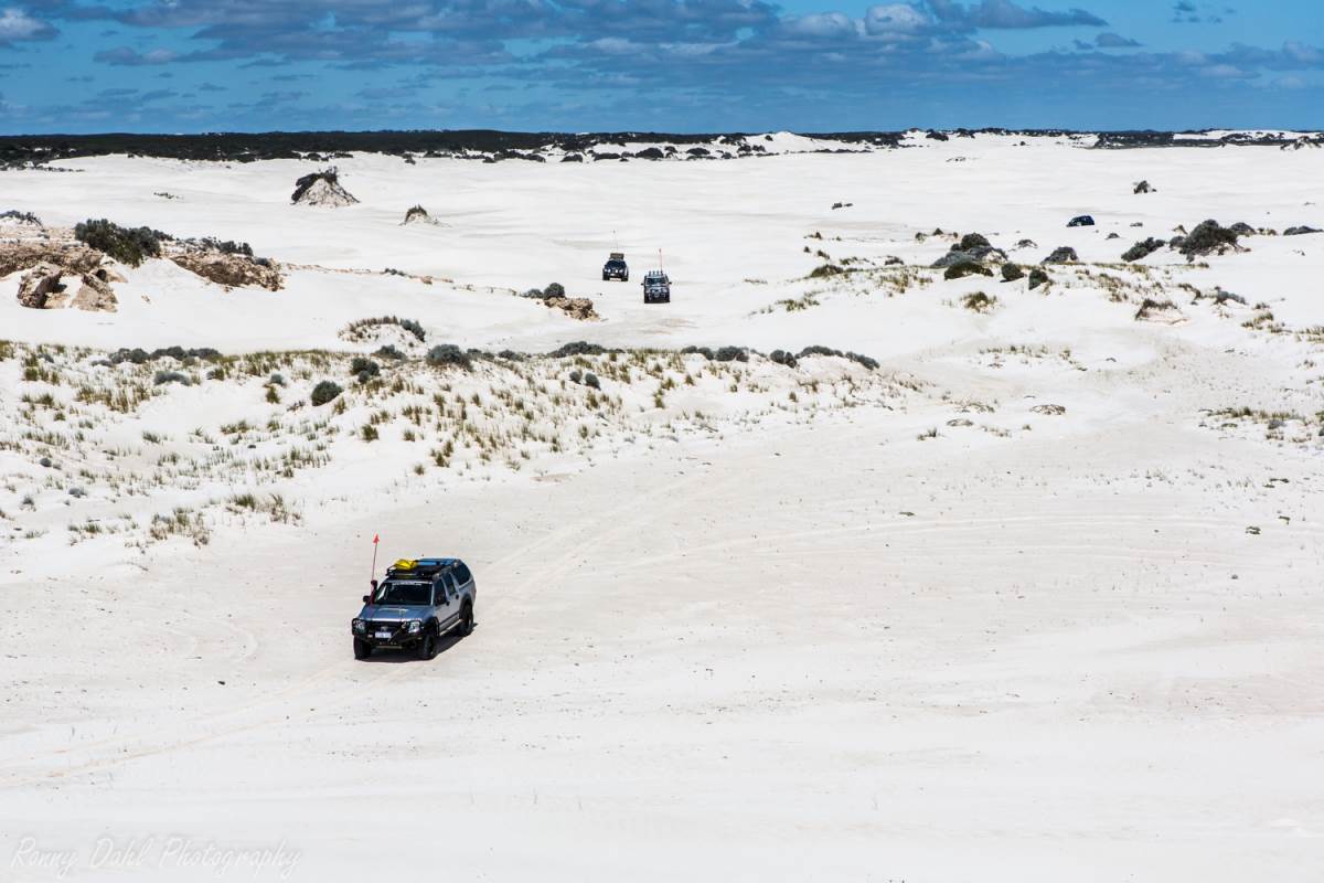
7 4-Wheeler's ready for a play in the sand dunes.
Time to allow:
Wedge to Grey can easily be done in 1 day, just make sure you start early to make the most of the day.
Starting this trip 8-9 am will allow plenty of time to enjoy
the dunes and the beaches.
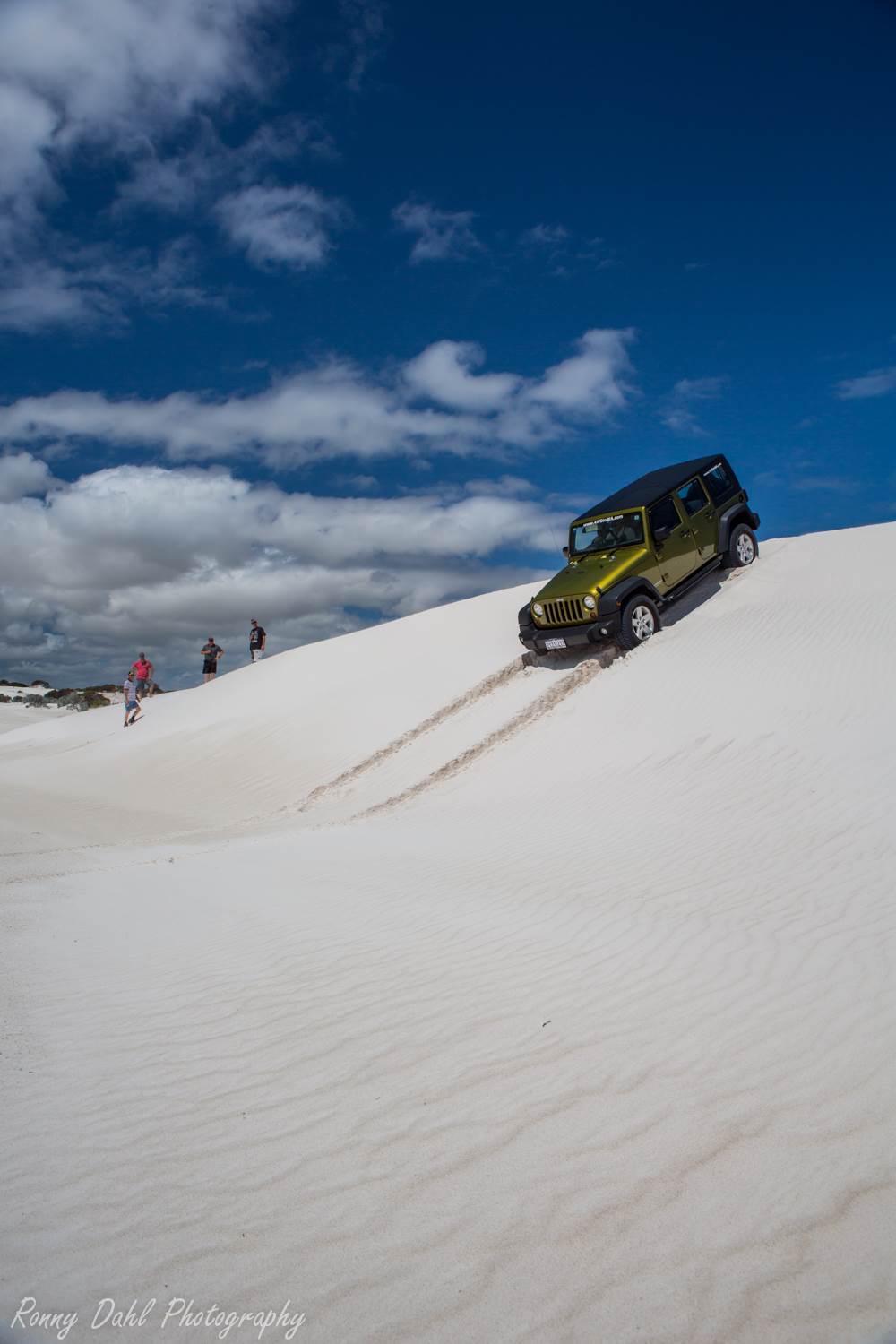
The Jeep Wrangler having a play in the Sand Dunes.
Track length:
Once
you add up crossing the dunes, beach stops and winding sand tracks its ends up
about 20+ kms, it may not seem very long but
going through the dunes and taking time exploring the area will take up the
entire day and is well worth it.
Wedge Island and Grey are both tin shack community's, it has this post-apocalyptic
feel about it while navigating through the shacks to the Wedge Island sand
dunes.
The shacks are off limits!
Wedge Island
Adventure:
If you want a real adventure but only have a few days Wedge to Grey will give you that.
Playing around in the dunes is one thing but having to find your way across them to the tracks is a whole other story, Adventure!
You don't know what's over the next sand dune which is just part of the fun.
The adventure starts just beyond the shacks, it can be a bit confusing navigating though the shacks but keep straight on favouring the eastern (right) side tracks heading north.
Once past the shacks the first sand dune will be right in
front of you.
This is where you need to air down.
If you like adventure then head through the dunes until you reach the far north western side and then find the access track to the beach, once on the beach travel 250-500m north along the beach and a few tracks will appear on the right which take you back into the dunes again.
The sand dunes are different to Lancelin in regards to shape and size due to different winds and being close to the beach.
The sand dunes are not as high however the amount of dunes makes for a great experience and heaps of fun.
Once the second sand dune formation has come to an end the remainder of the trip is along sand tracks, driving along the beach the entire way is not possible due to the lime stone cliffs which block the beach so keep to the coastal sand tracks which run right next to the beach anyway.
Access to the beach by 4WD is possible most of the way along the coast as there are tracks heading down; just make sure you can get back up.
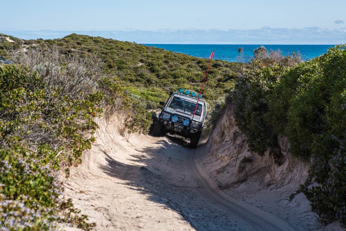
Little Bear making it's way on the sand tracks.
Wedge Island To Grey, Places of interest:
The sand dunes are the main event on this trip, however there are a few great hidden treasures on the way through the tracks and that’s not including the million dollars view along the entry turquoise colour coast.
There are great beaches and lime stone cliffs to checkout and a few sand dune challenges off the tracks which are well worth checking out!
See our GPS waypoints below and enter them into Google earth to make the most out of your Wedge Island to Grey adventure!
Caution!
Be self-sufficient
as there is nothing and no help for at least 45 km away.
Check sand dunes for drop offs before gunning it up and over.
Know the tide.
There is plenty of wild life about due to this area not being visited too often so take care and stop for snakes, lizard or anything crossing on your Wedge Island to Grey adventure.
What to do:
- 4 Wheel Driving,
- Fishing, surfing,
- Kite surfing,
- Swimming,
- Sightseeing
- Exploring the sand dunes.
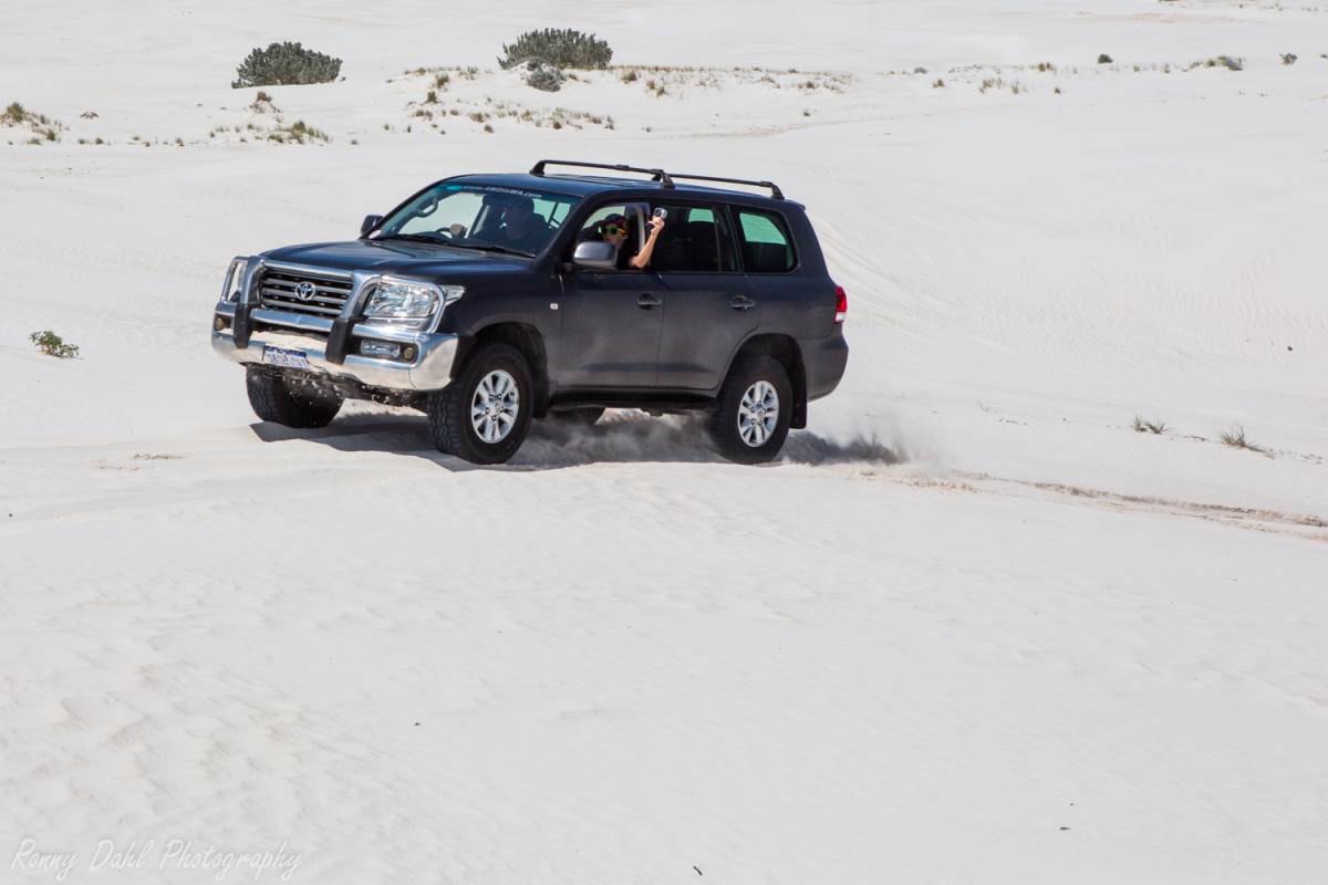
Exploring the Sand Dunes @ Wedge Island.
Track conditions and difficulty:
Easy to Medium.
The sand dunes always vary as they can change shape overnight.
Patches of very soft sand is always around somewhere in the dunes so bogging the vehicle is all ways possible.
The sand tracks have rocky sections and expect a bit of light pin striping from the bushes along the way, other than that the tracks are easy to drive and easy to navigate.
Best Time to Go:
Anytime of the year, providing it’s not raining too much.
Wedge Island to Grey, GPS waypoints:
|
For information about How to enter the GPS Way-points into Google Earth see this video. |
For information about How to enter the GPS Way-points into Google Earth
see this video.
Wedge Island Settlement:
Wedge Island entry: Make your way to the 2nd waypoint by navigating between the shacks.
|
Latitude: 30°49'9.50"S |
Longitude: 115°11'58.71"E |
Wedge Island 1st SAND DUNE formation entry:
Start your sand dune exploration here and head north taking whichever way you please, finding your way is part of the fun. Take care and take your time navigating as dunes have drop offs.
|
Latitude: 30°48'26.14"S |
Longitude: 115°11'40.84"E |
Wedge Island Sand Dunes exit to beach (head north):
This is where you need to get to in order to get down on the beach, once on the beach head north until you come across the next sand dune formation.
|
Latitude: 30°46'31.32"S |
Longitude: 115°11'5.30"E |
2nd SAND DUNE formation entry:
Once you arrive here enter wherever you can and have a play around before heading to the exit track just north.
|
Latitude: 30°46'0.76"S |
Longitude: 115°10'49.45"E |
2nd SAND DUNE formation exit: This is where the coastal bush tracks start, just keep with the main track and check out any beach spot on the way if you wish to.
|
Latitude: 30°45'29.25"S |
Longitude: 115°10'50.59"E |
Coastal track options:
Here you have multiple choices; turning west towards the coast is the best option as the main track just goes off into the bush for a while before re-joining the other tracks again.
Basically as long as you keep heading north you will get out at Grey.
Just stick to the nearest coastal tracks as it’s more fun and the views are great, also the perfect beach spot is just somewhere there waiting for you!
|
Latitude: 30°43'53.60"S |
Longitude: 115° 9'53.62"E |
Grey (Settlement) the exit and the best place to air up:
|
Latitude: 30°40'2.11"S |
Longitude: 115° 8'15.99"E |
Wedge Island to Grey areas of interest:
Beach spot 1: This is a great spot for parking up for a while.
|
Latitude: 30°41'15.02"S |
Longitude: 115° 8'44.75"E |
Interesting Lime stone Cliff area:
|
Latitude: 30°40'43.13"S |
Longitude: 115° 8'30.06"E |
Sand Dune Challenge: This is a fun little challenging dune with a tight turn at the top.
|
Latitude: 30°40'14.41"S |
Longitude: 115° 8'23.53"E |
Recent Articles
-
4x4 off road tracks 0 to 250 km from Perth
Nov 21, 23 07:40 PM
On this page we cover 4x4 off road tracks within a 250 km radius from Perth... -
4 Wheeling Around Jurien Bay.
Nov 21, 23 07:35 PM
Jurien Bay 4x4 tracks info and general information about the area... -
Carnamah caravan Park WA
Oct 10, 23 09:31 PM
This caravan park is very clean. The ablutions are spotless. The washing machines are free but need to keep them clean. Easy parking for big rigs and if
- Home
- 0-250 From Perth
- Wedge Island to Grey
Leave Wedge Island To Grey And Go 4 Wheeling In Western Australia.
